Geoteamz for Fire Departments
Tight integration with CAD systems, real-time situational awareness from the chief to the firefighter to the volunteer, multi-mode communication capabilities and even the use of advanced technologies like augmented reality make Geoteamz a unique and exceptional platform for fire fighting.
CAD/RMS integration
Real-time access to active calls for service dispatcher notes, and unit status.
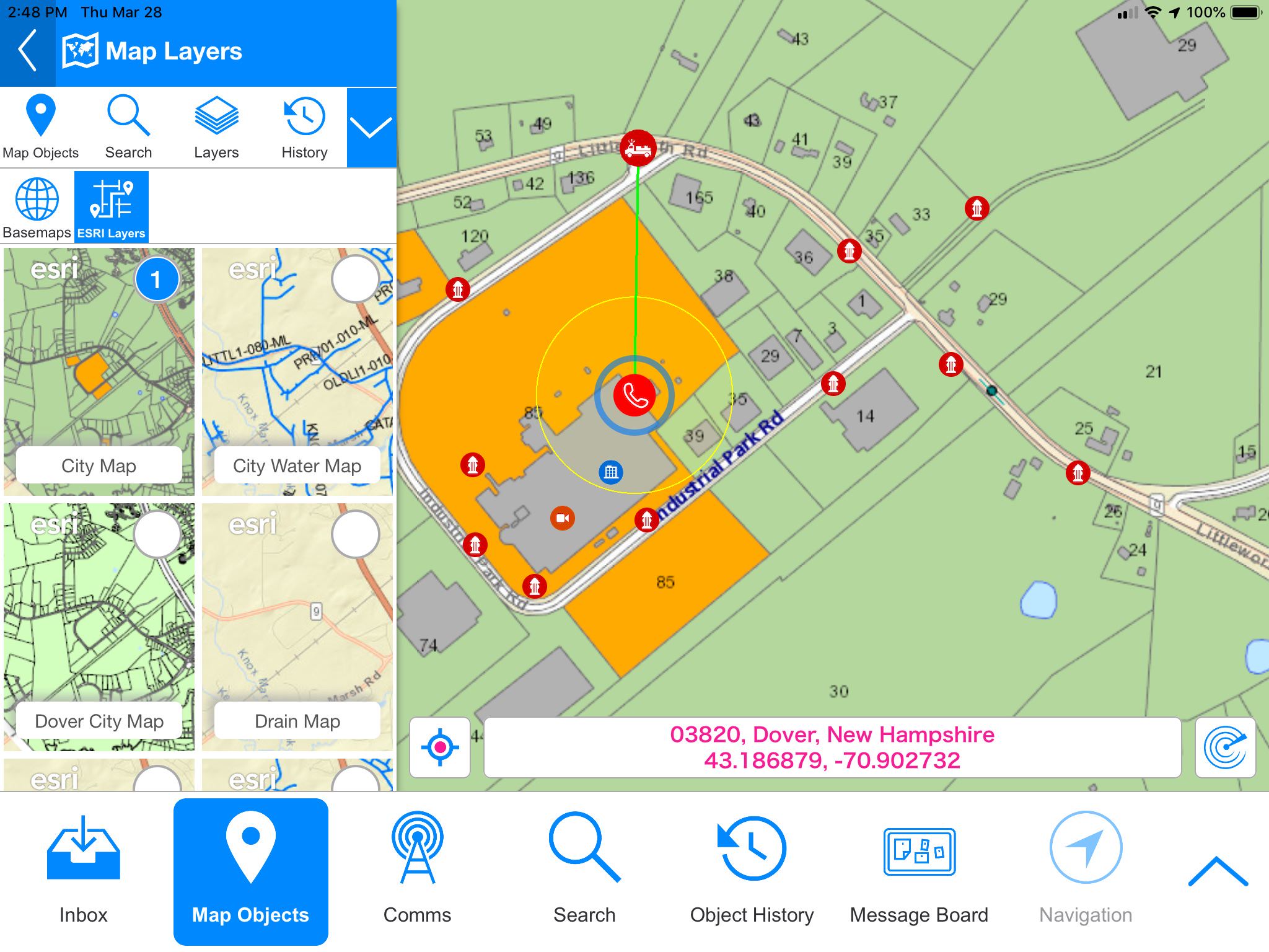
Advanced Mapping
Esri, Azure Map, Apple Maps, customizable layers, and user-defined object types.
Communications
Video streaming, audio, video, and text chatting.
Augmented Reality
Locate snow covered fire hydrants or first responders inside a building.
Cloud Architecture
This means you don’t need local IT infrastructure or personnel to manage it.
Runs on every device
iOS, Android and browser support, and unlimited licensing mean that its available on the chiefs Android phone, the desktop of the dispatcher and everyone else at the station, the tablets and MDTs on the engines, and on the phones of the volunteers.