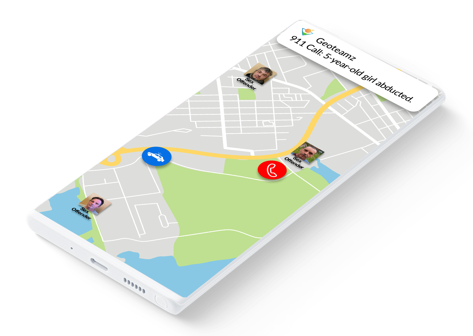
Geoteamz for Police Departments
Geoteamz provides unprecedented situational awareness and collaboration to everyone involved in law enforcement: from the chief to the officer on the beat. It's user interface is designed for use in high stress situations: simple, intuitive, and easy to operate.
CAD/RMS integration
Real-time access to active calls for service dispatcher notes, and unit status.
Advanced Mapping
Esri, Azure Map, Apple Maps, customizable layers, and user-defined object types.
Communications
Video streaming, audio, video, and text chatting.
Video Surveillance
Connects with camera systems in schools, banks, etc.
Cloud Architecture
This means you don’t need local IT infrastructure or personnel to manage it.
Runs on every device
iOS, Android and browser support mean that the product is available on the chiefs iPhone, on the desktops of the dispatchers and everyone else at the headquarters, on the tablets or MDTs in the patrol cars and mobile phones of the officers on the beat.